- Direction and distance
- S(176.7°)・20 km
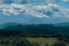
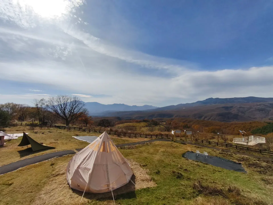
見分けかたAlmost due south: the biggest mountain on the left. A flat top, then a sudden step down on its right shoulder.
噴火警戒レベルを気象庁で見る今日の日の入り
11月30日〜12月2日ごろと1月10〜12日ごろは、四阿山の頂上にちょうど沈みます。
ふもとの村
- Kita-KaruizawaSSE・16 km
- KanbaraSSE・14 km
- NishikuboSSE・7.4 km
- ŌmaeS・11 km
- Onioshidashi ParkS・16 km
- HoshimataS・5.9 km
- ŌsasaS・11 km
- Shin-Kazawa OnsenSSW・14 km
- Tsumagoi ships more summer-and-autumn cabbage than anywhere in Japan (MAFF, FY2023): about 19 million cases from June to October.JA嬬恋村(2026-11-01 閲覧)
見えないけど、この向こうに
- Mt. Fuji 3,776 mbehind Asama's left slope。1.0°ほど下に隠れています。
- Yatsugatake (Akadake) 2,899 mbehind the ridge between Kurofu and Kagonoto。0.5°ほど下に隠れています。
- Mt. Tateshina 2,531 mbehind the ridge right of Kagonoto。0.9°ほど下に隠れています。
- Mt. Norikura 3,026 mexactly behind Azumaya。4.4°ほど下に隠れています。
- Mt. Nekodake 2,207 mbehind the ridge running right from Azumaya。0.8°ほど下に隠れています。
- Mt. Yari 3,180 mbehind Urakura。3.9°ほど下に隠れています。
- 御飯岳 標高 約2,159 m(標高データから)level with the north-west ridge (by the numbers, just below it)。0.09°ほど下に隠れています。
- Mt. Yokote 2,307 mnorth, behind the slope right behind the deck。5.6°ほど下に隠れています。
- Mt. Shirane (Kusatsu) 2,160 mnorth, behind the slope right behind us。5.6°ほど下に隠れています。
- Mt. Motoshirane 2,171 mnorth-north-east, behind the slope right behind us。1.6°ほど下に隠れています。
計算では、浅間隠山と浅間山のあいだの地平線すれすれにthe Okuchichibu peaks (Kumotori, Kobushi and others)(70〜90 km)が顔を出します。木と霞で、デッキからはまだ確かめていません。
Made by processing GSI tiles (elevation tiles, from the Fundamental Geospatial Data DEM). Peak positions and heights: GSI list of major peaks and place-name search. Compass correction (declination): GSI magnetic chart 2020.0. Volcano information: Japan Meteorological Agency. GSI · Peak list · Geomagnetism · JMA